Trail #9 - Willow Creek to Black Elk Peak
This trail to Black Elk Peak is one of the harder trails to take. The trail is about 11 miles round trip and has a lot more elevation gain then the other hikes. It starts at the Willow Creek Campground and Trailhead at Trail #8. From there you decide which way you want to hike. The trail to the left is about 1 mile before it joins up with Trail #9. The trail to the right loops around and is about 2 miles before it joins up with Trail #9. Once you are on Trail #9 you follow it until it meets up with the Sylvan Lake Trail which then takes you to Black Elk Fire Tower and Peak.
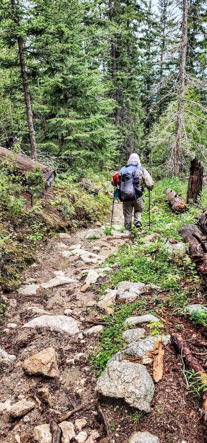
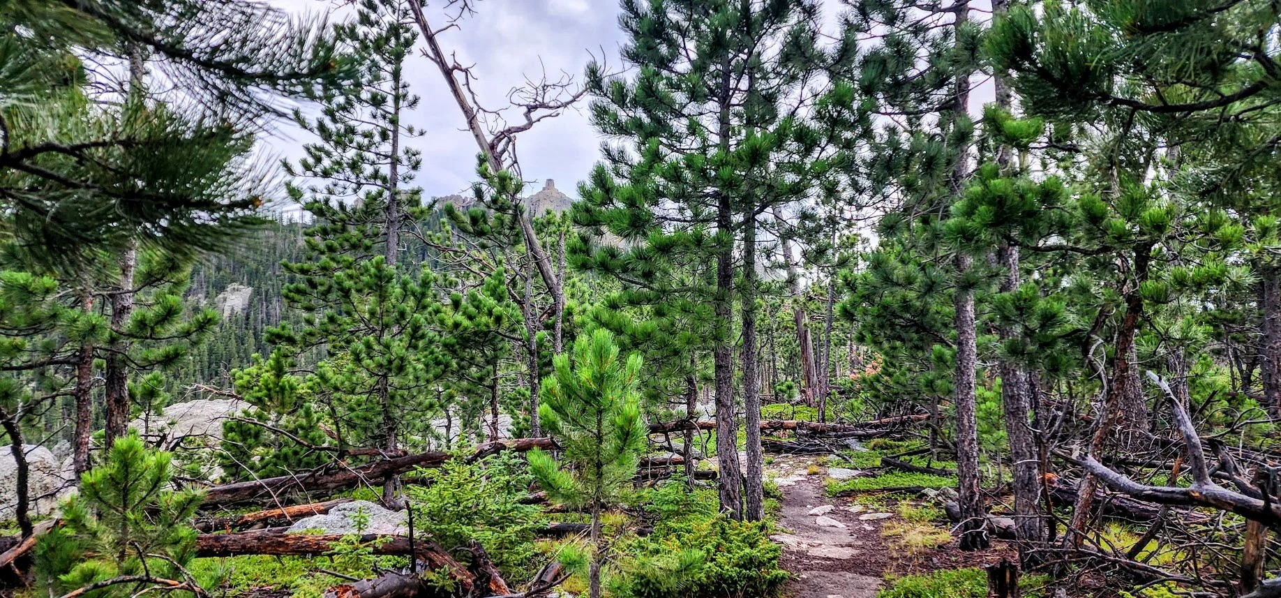
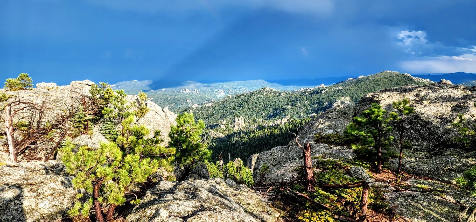
This trail by far is the prettiest trail to Black Elk. It is usually used by horses, but when we went, we were completely alone until we met up with the Sylvan Lake Trail. After that we saw people everywhere. The trail goes through the forest, has some amazing views all the way up, and the solitude was wonderful. This trail is very hard though with over 3000 ft. of elevation gain. If you look at the track of the trail, you will see that it’s a steady incline without much ups and downs, so you should be prepared with water, food, a raincoat, and good hiking boots and poles.
To get to the trailhead go to Highway 244 just west of Mount Rushmore. The campground is across from Mount Rushmore KOA Palmer Gulch, and the trailhead starts there. Before starting make sure to complete a registration form which is available at the start of the trailhead. You are also entering Custer State Park on the trail, but do not need a pass if you do not have one.
Entrance to the campground, picnic area, and hike.
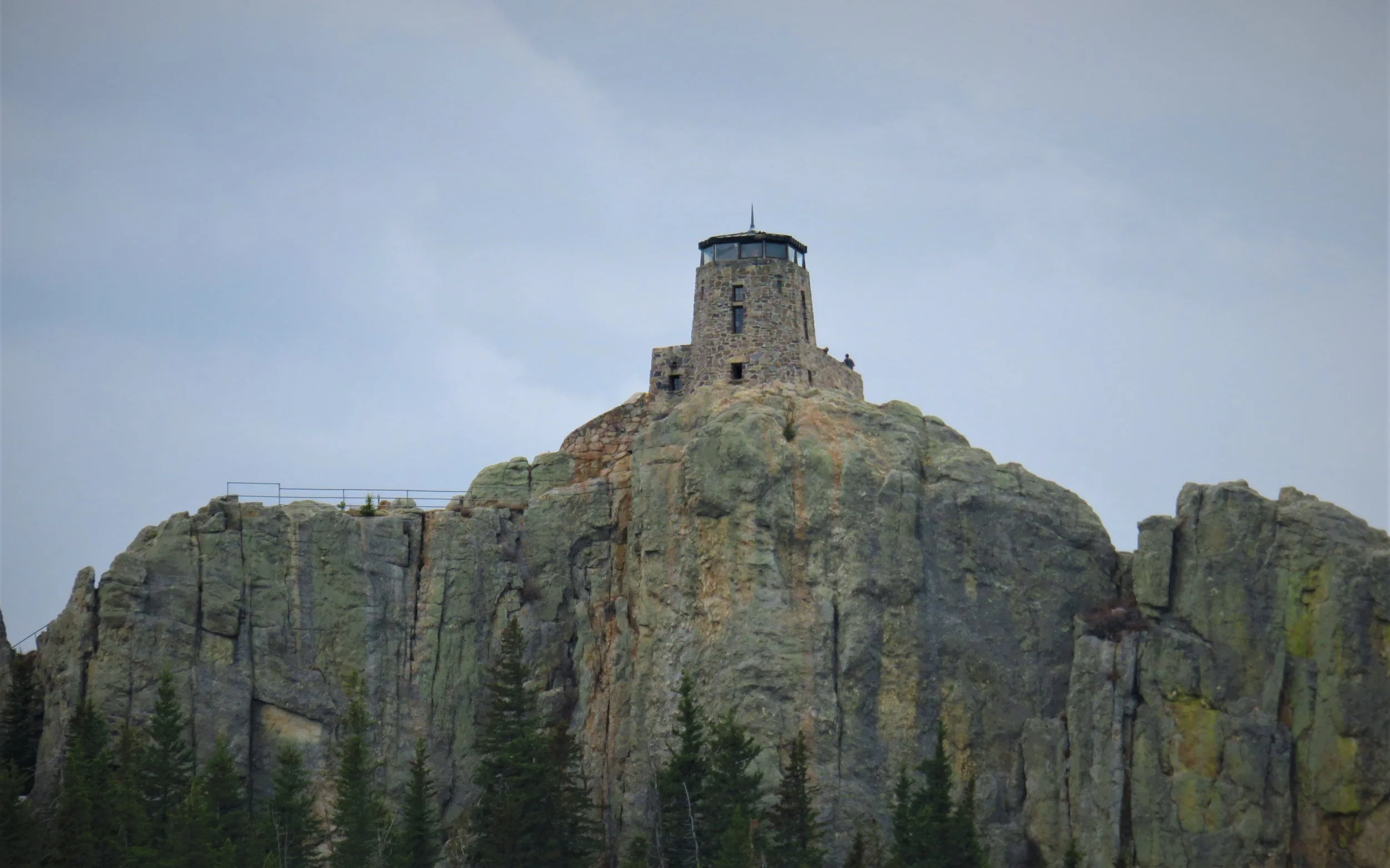
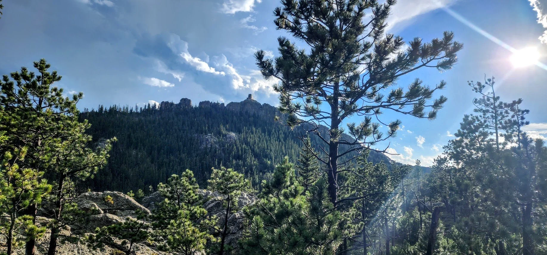
Can see Black Elk Peak way in the distance - our destination.
Need to register.
Can hike either way on Willow Creek Trail #8 to get to Trail #9. The trail that goes to the right is 2 miles to Trail #9.
Big parking area.
The trail to the left goes up right away, but is 1 mile to Trail #9.
We took the trail to the left.
Cool rocks along the way.
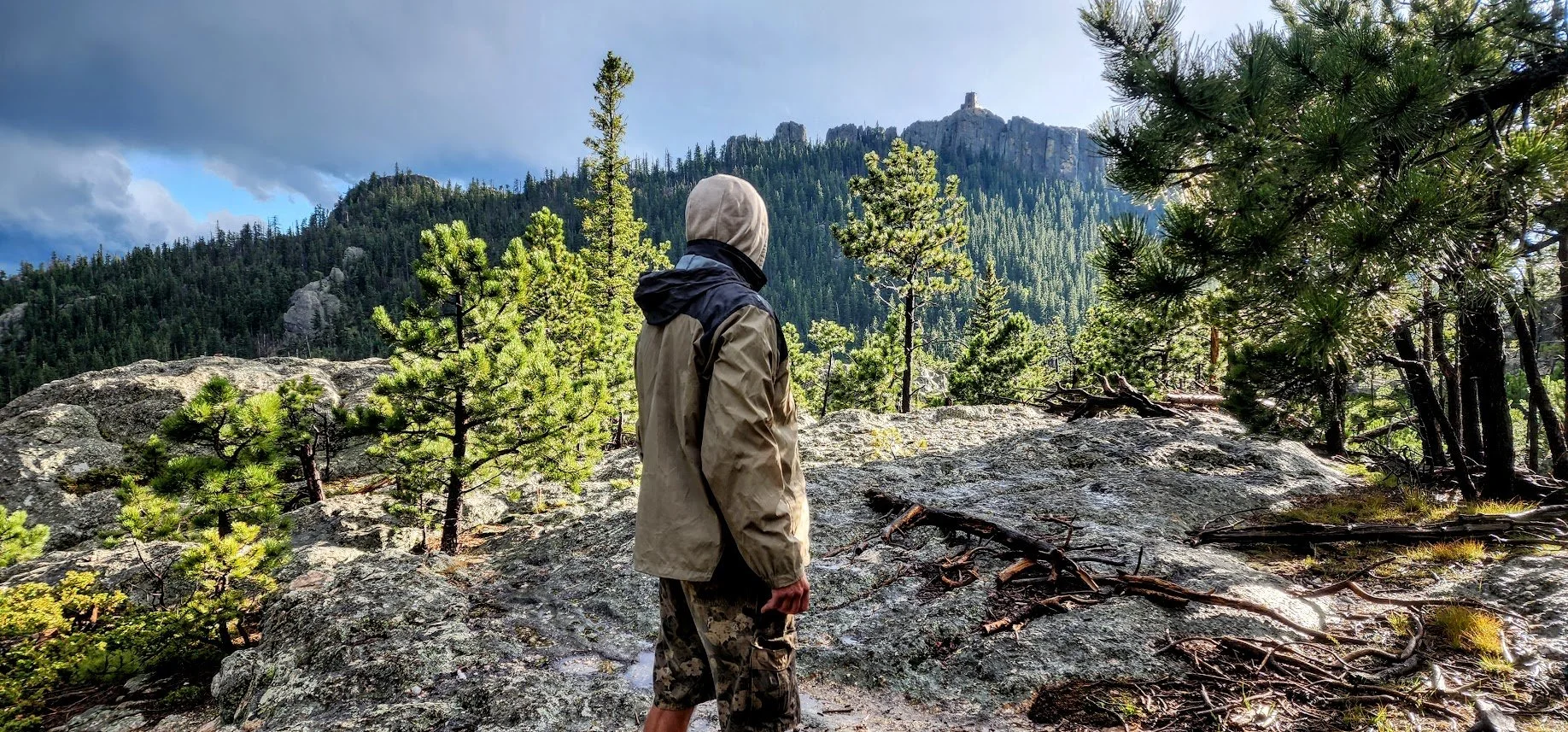
Can see Black Elk Peak - looks very far away.
After 1 mile, you see the trail for Black Elk Peak Trail #9.
Very open views.
You pass by Rushmore Trail #5.
We are not alone……
Very cool area.
Hit snow - sometimes 3 to 4 feet deep on the trail - not fun.
Hit the Sylvan Lake Trail - getting close.
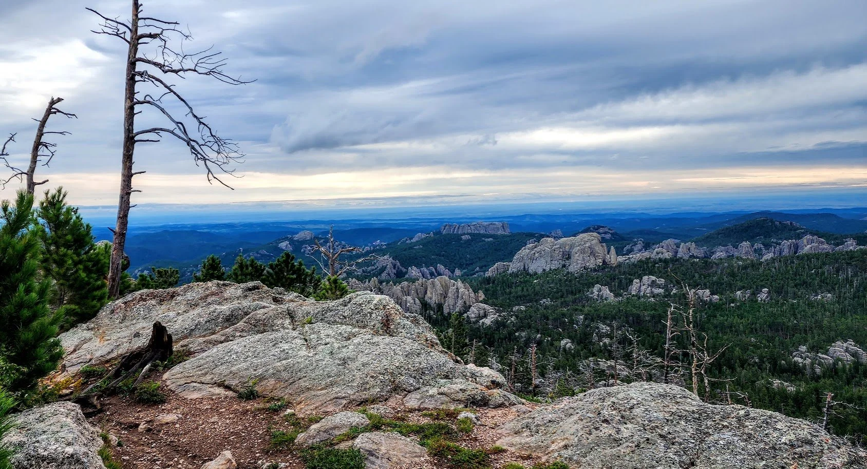
Even more amazing views.
Hit a lot of rock stairs….
And more stairs.
At the top.
Can see forever.
Inside the fire tower.
Native American prayer bundles. Don’t touch.
Black Elk Peak - Elevation 7242 feet.
Hike back down. Easier and just as beautiful.
Love how the trail got so close to the rocks.
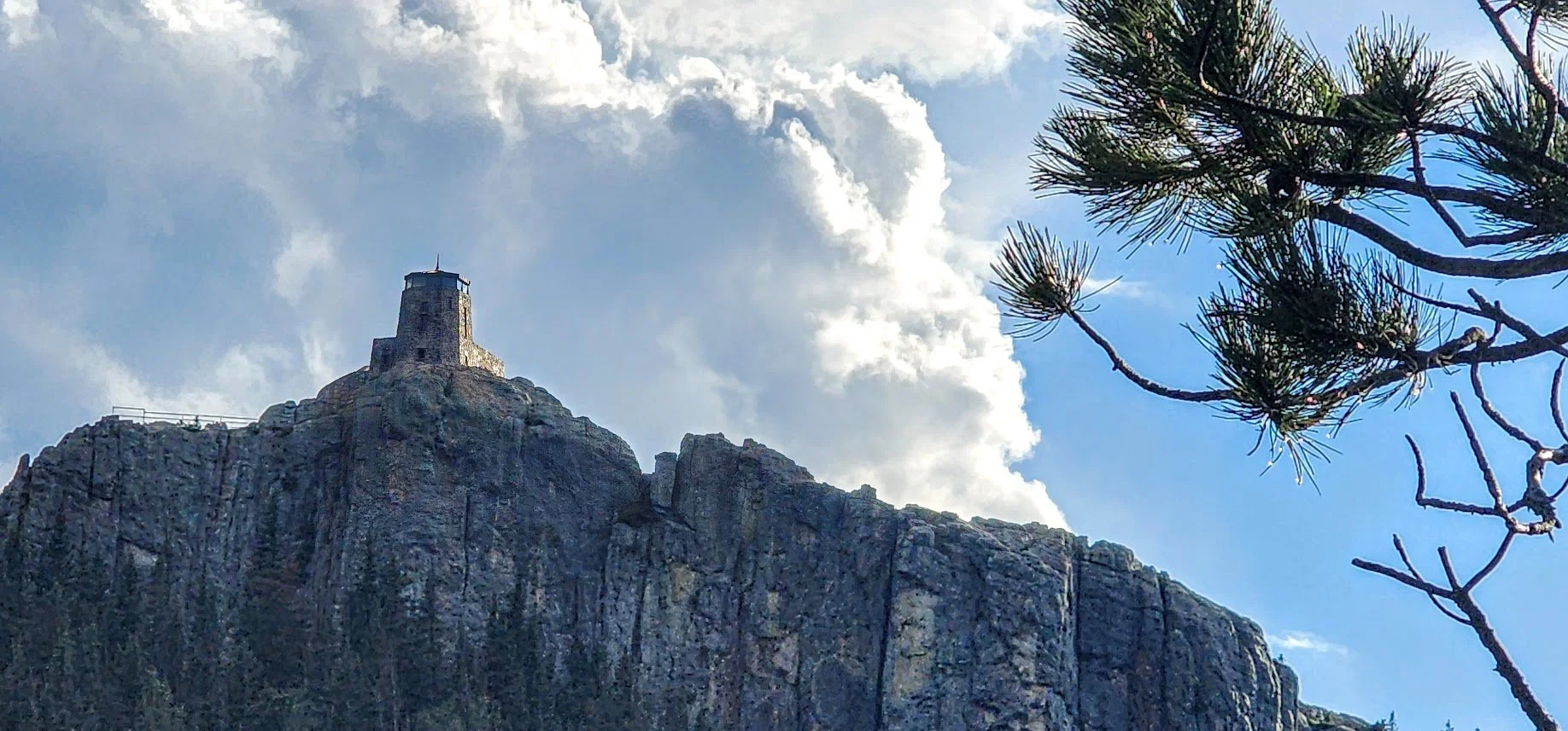
Black Elk from below the trail zooming in.
Made it back. Nice place to rest before we head home.
Summer of 2023 we went backpacking on this trail and came back this way from Lost Cabin #2 Trail.
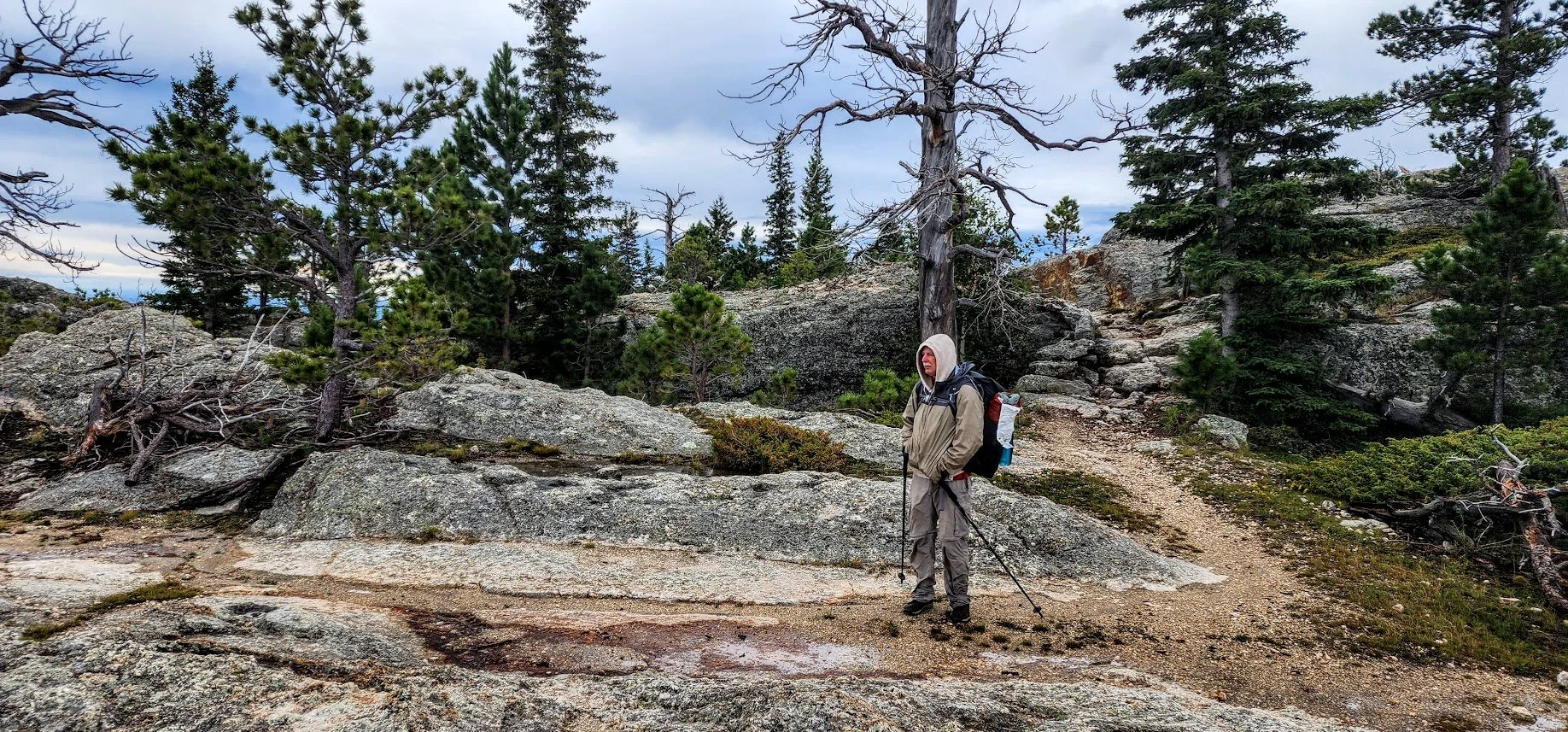
Very cold day.
Hit a storm all afternoon and night - made for a very cold and wet trip, but it was still amazing. This was the 15 minutes it was not raining.
