Sylvan Lake Trail to Black Elk Peak
Hike up to the top of Black Elk Peak, formerly known as Harney Peak, the highest peak east of the Rockies in America at 7242 feet. American settlers used Black Elk Peak as a fire lookout tower in 1911, with a wood crate placed at the summit for a seat. The stone fire tower that stands atop the peak today was completed in 1938 and was last staffed in 1967.
The easiest way is to Black Elk Peak is by taking this trail that starts near the parking lot for Sylvan lake at Custer State Park. The trail is about 3.5 miles one way and is the most popular trail to Black Elk Peak. This trail takes you to amazing 360 degree views of the Black Hills. Be sure to bring plenty of water and food and make this a fun day trip for the whole family. Also be prepared for bad weather. Storms pop up frequently and usually contain large hail and gusty winds.
At the top.
Parking lot usually gets full in the summer.
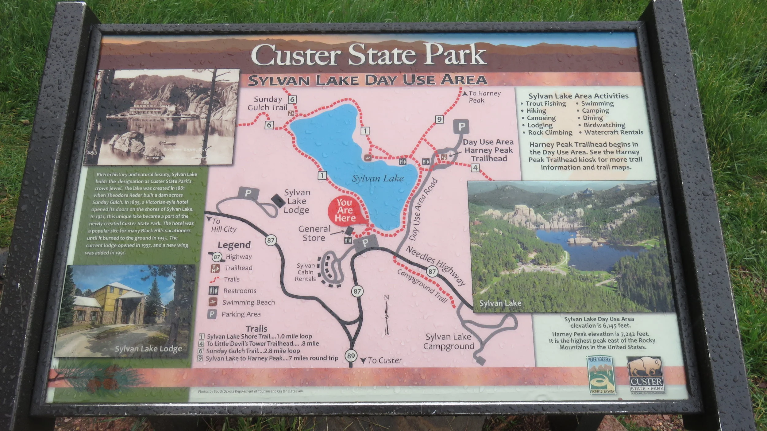
Map of the area.
Caution signs when hiking in the area.
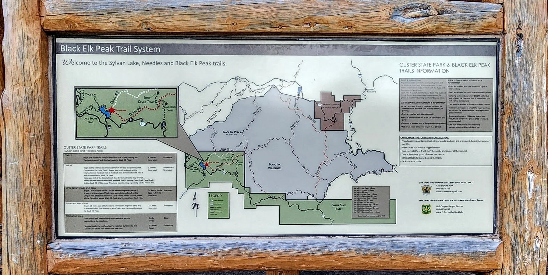
Pretty detailed map.
Start of the trail to Black Elk Peak.
It's about 3.5 miles one way. A lot of horses use this trail and it is the most popular trail. Starts just to the north of the lake.
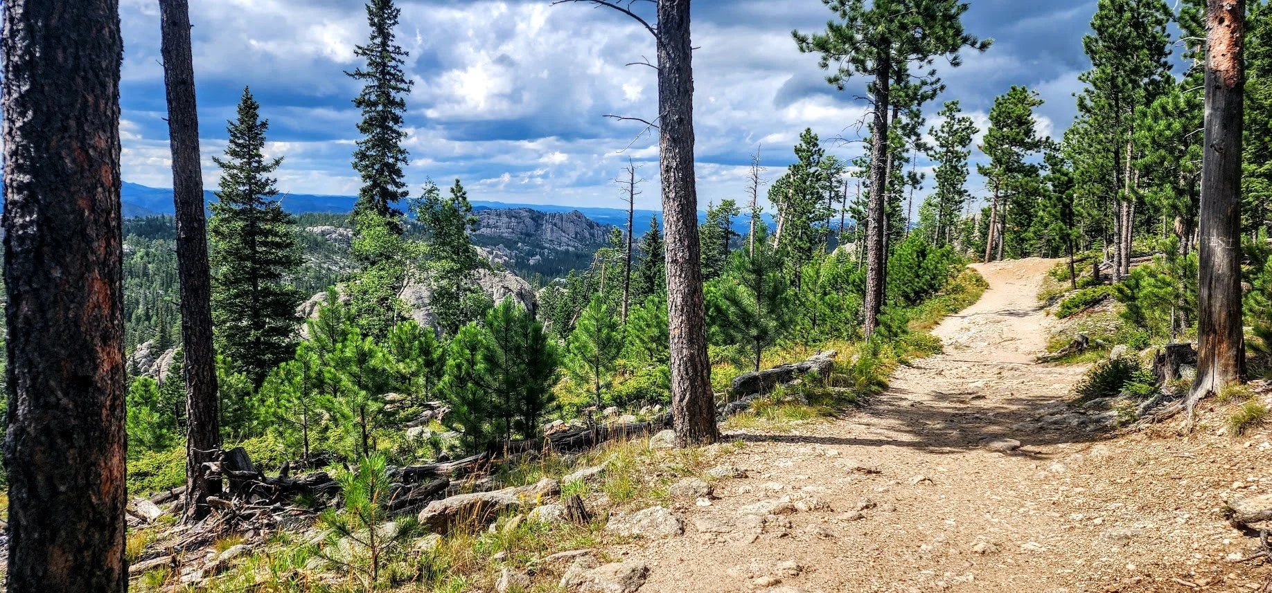
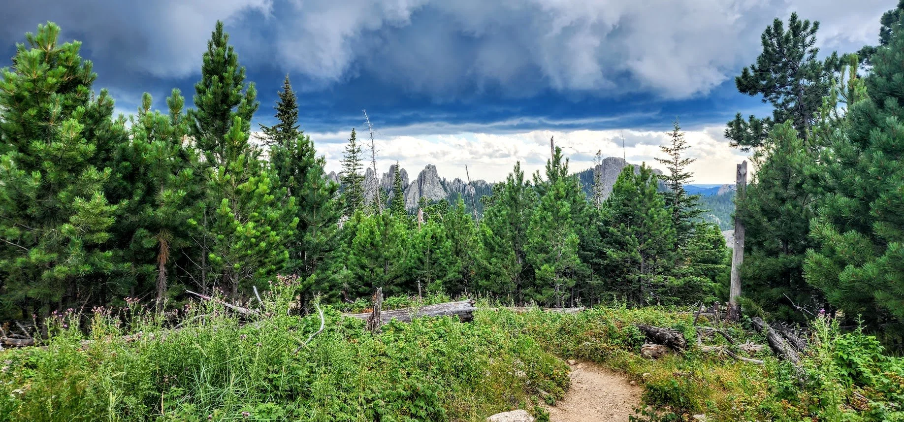
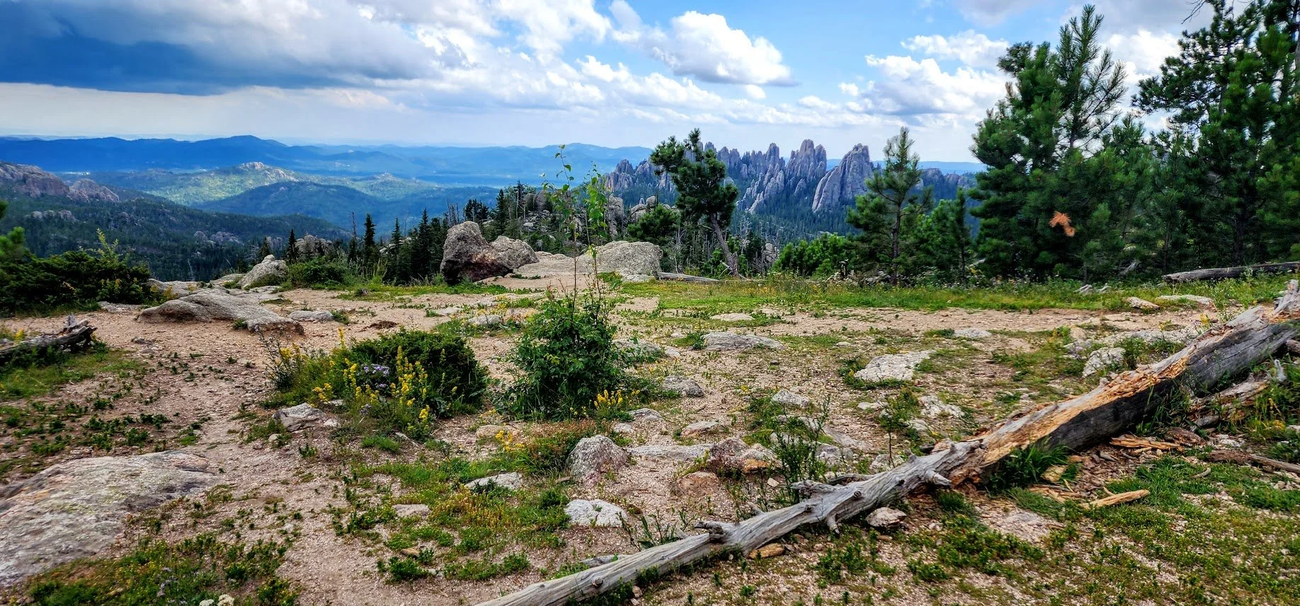
View on the way to Black Elk - Huge open spaces and great photo opportunities.
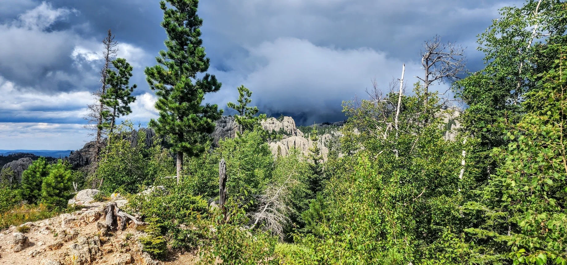
This is a picture of a pending storm when we were backpacking this trail. It followed us the whole way and then it hit us.
Close to the top.
Make sure you see the sign and go to the left for Black Elk.
If you see this sign, you missed your turn.
Getting near the top.
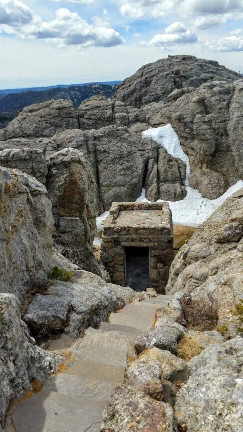
Near the top, lots of steps.
Goes up and up and up…..
More stairs.
Almost there.
Inside the tower.
At the very top looking out.
Can see for miles.
Neat checking out the different buildings.
Always a little pond at the top.
Explore the whole area - Very neat.
Views from every angle.
Perfect spot for a picnic.
