Stratobowl Rim Trail
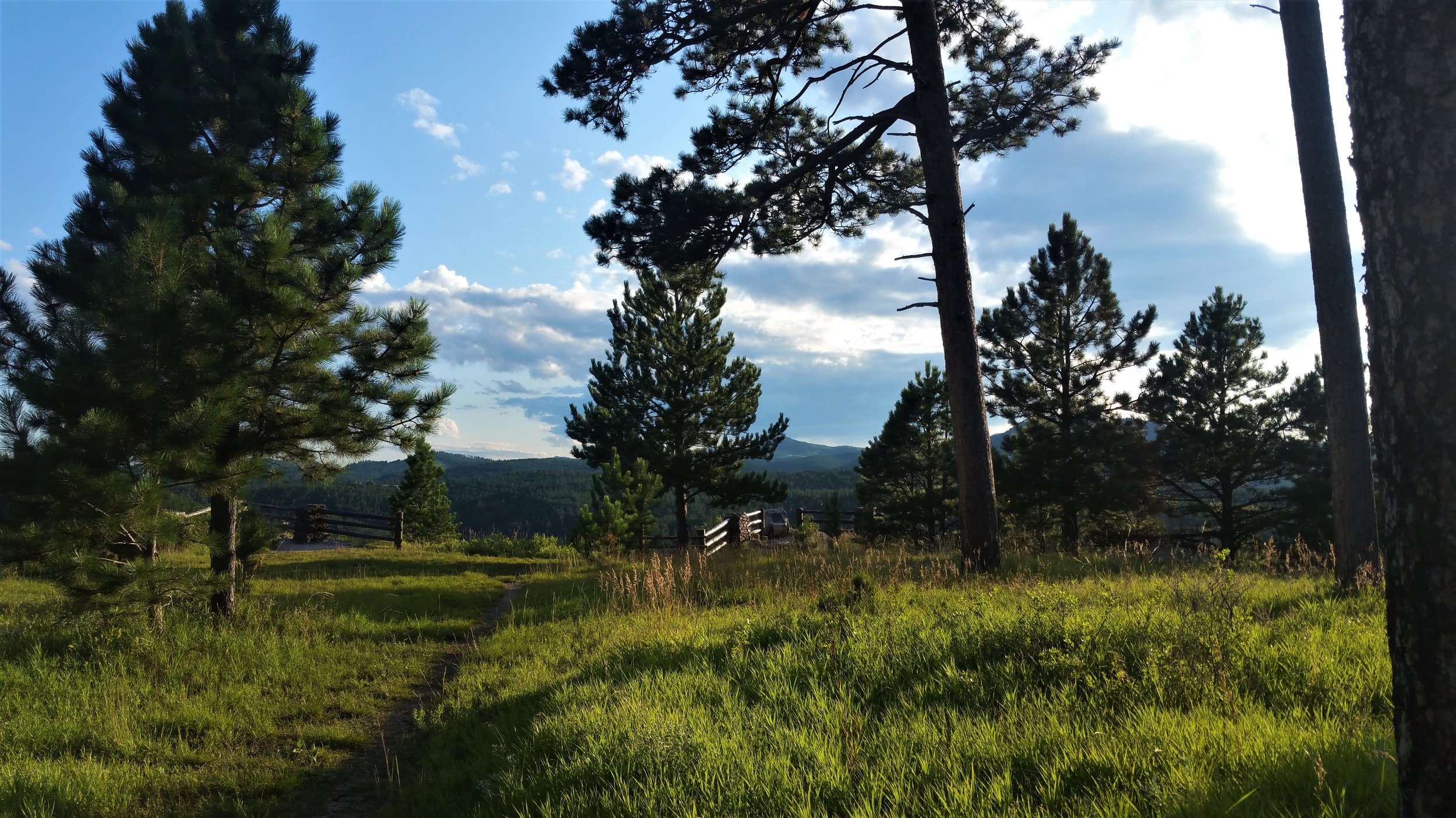
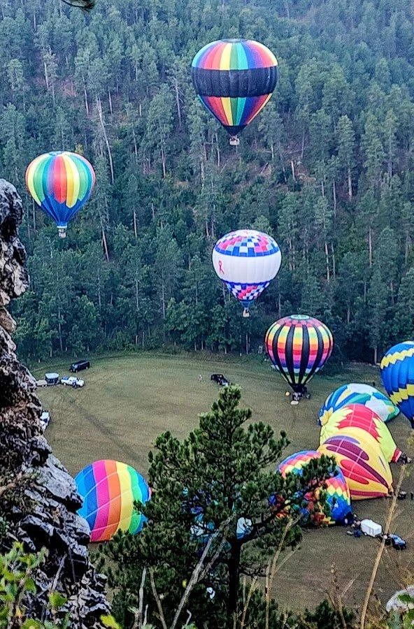
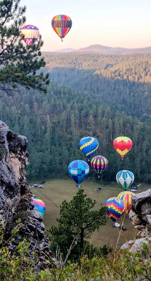
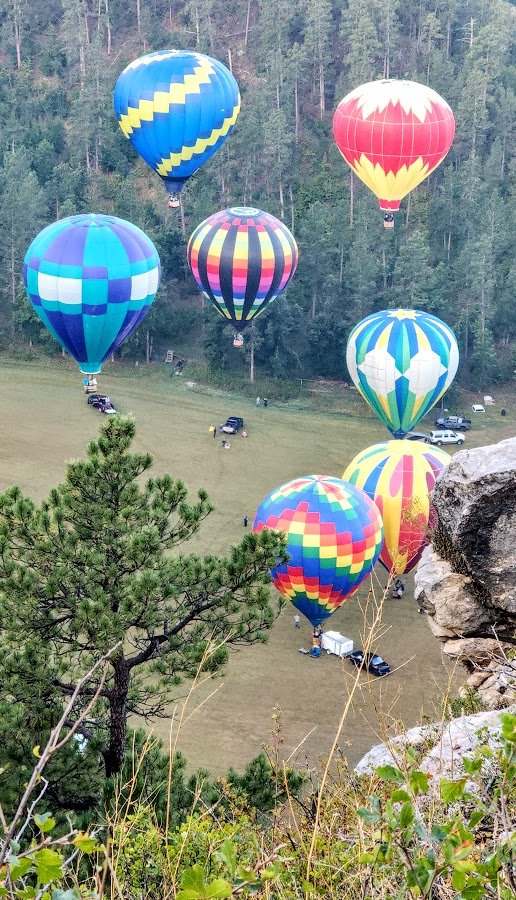
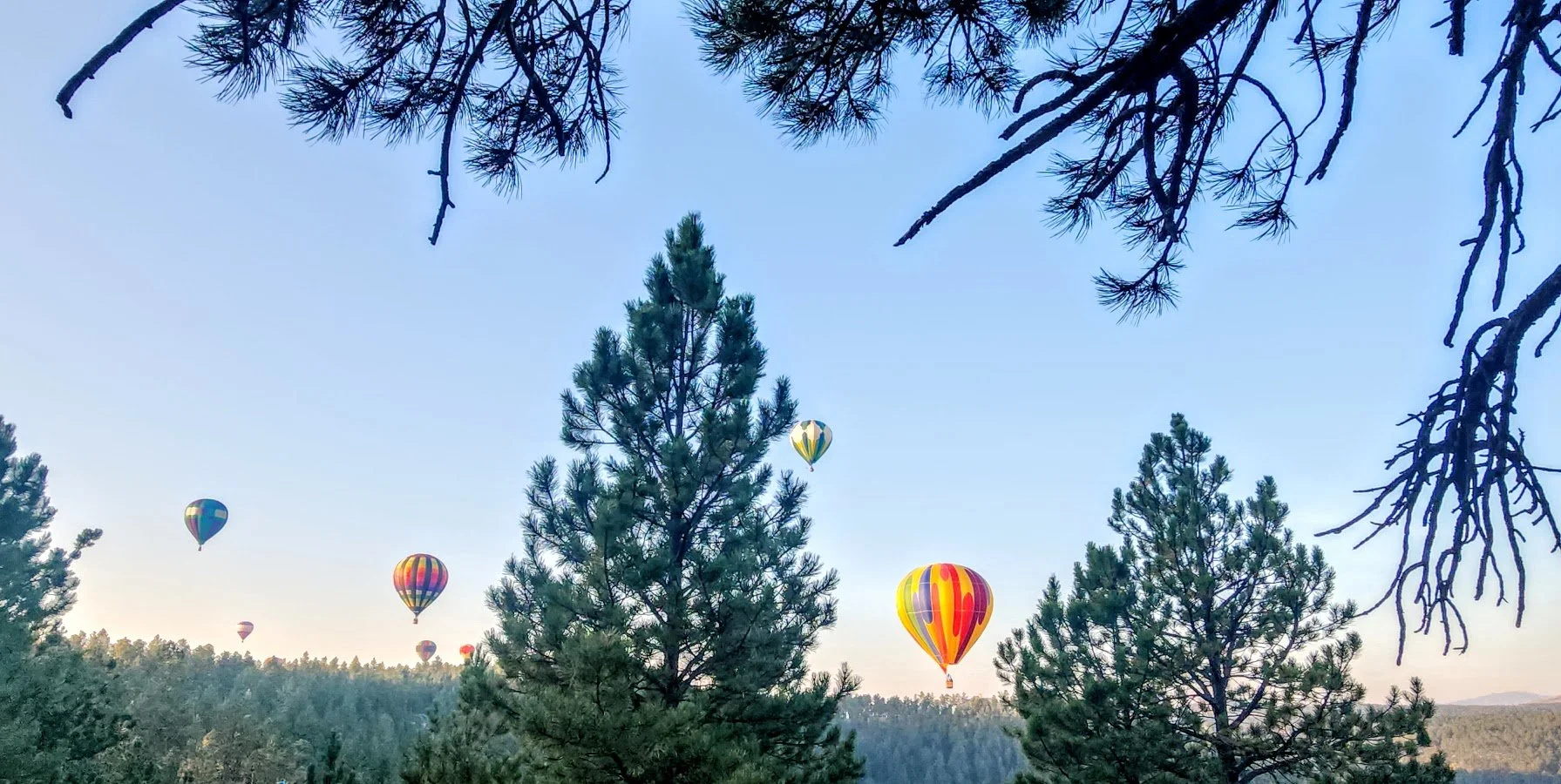
Stratobowl Rim Trail is off of S Highway 16 about 2 miles west of Bear County. It is a easy one mile hike down a dirt road. There is a pull out where you can park your car on the north side of the highway. The trail ends up at some cliffs overlooking the Stratobowl where they launch hot air balloons at times. The overlook is gorgeous and you can see for miles. Watching the sunset at night even makes the area more special.
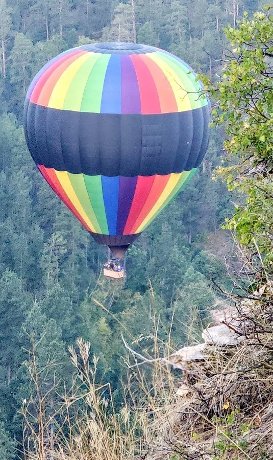
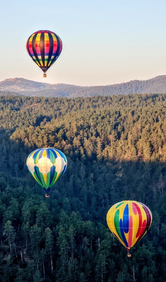
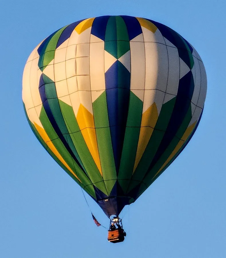
The Stratobowl was the liftoff site for the record-breaking balloon flights by the National Geographic Society and the Army Air Corps in 1934 and 1935. They made history with the first-ever photograph of the Earth’s curvature. Every September now they do a historic flight where 10 to 12 balloonist gather for the launching. People can come and walk the 1 mile path to witness this historic event in all its glory.
New parking lot off S Highway 16.
Stratobowl Rim Trail - nice and easy dirt road.
History of Stratobowl.
Trail by the cliffs.
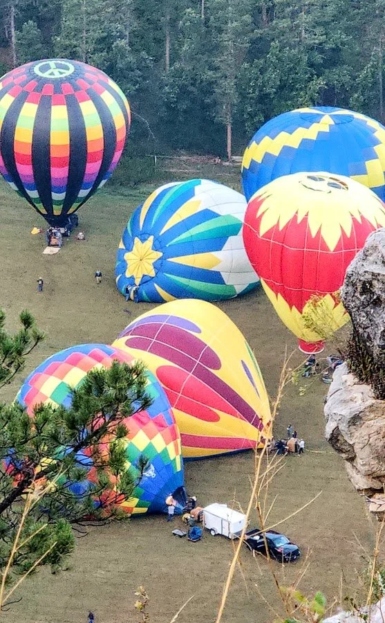
Peace sign of where they launch the balloons.
The historic balloon launch in September.
Getting the balloons ready to launch.


