

Rankin Ridge Trail
Rankin Ridge is in the Southeast edge of the Black Hills, and is the highest point in Wind Cave National Park at 5,013 feet. There is an informative trail you can take to hike to the fire tower for a one mile loop. The fire tower is now closed, but the hike is still worth it since you get beautiful views of the surrounding area. There are 14 interpretive sites along the trail, and you need to watch out for rattlesnakes and buffalo which frequent the area. The trail starts out as single track, and after the tower becomes a road which you can take back to the car, or turn around and go back the same way. Wind Cave National Park is free to visitors, no permit is required to walk this trail, but bikes and dogs are not allowed.
To get to Rankin Ridge Trail - From Custer, South Dakota take Route 16A East for 6.5 miles and turn South on Highway 87. Drive around 13 miles to an access road leading to the trailhead.

Road turn off.

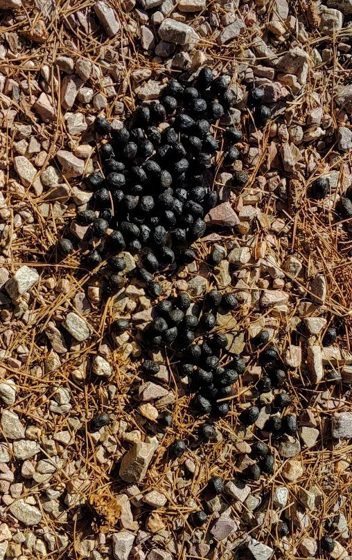
Buffalo are usually along the road leading up to the trail so use caution.

The beginning of the trail.

Trail goes up pretty much the whole way there.


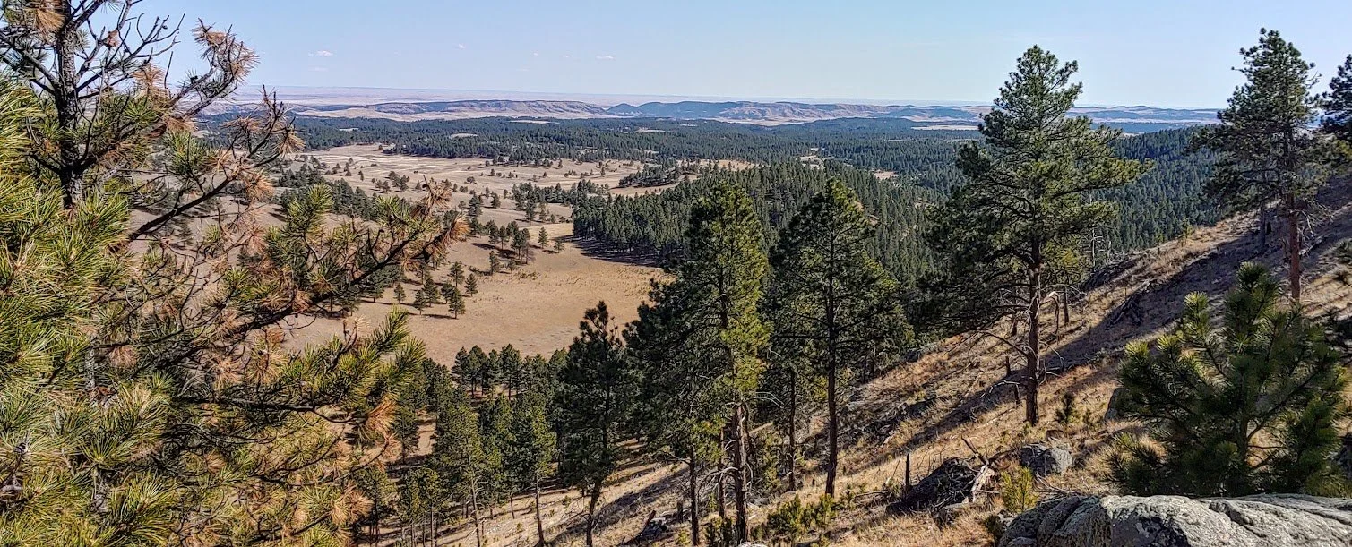
Beautiful views on the way up the trail.
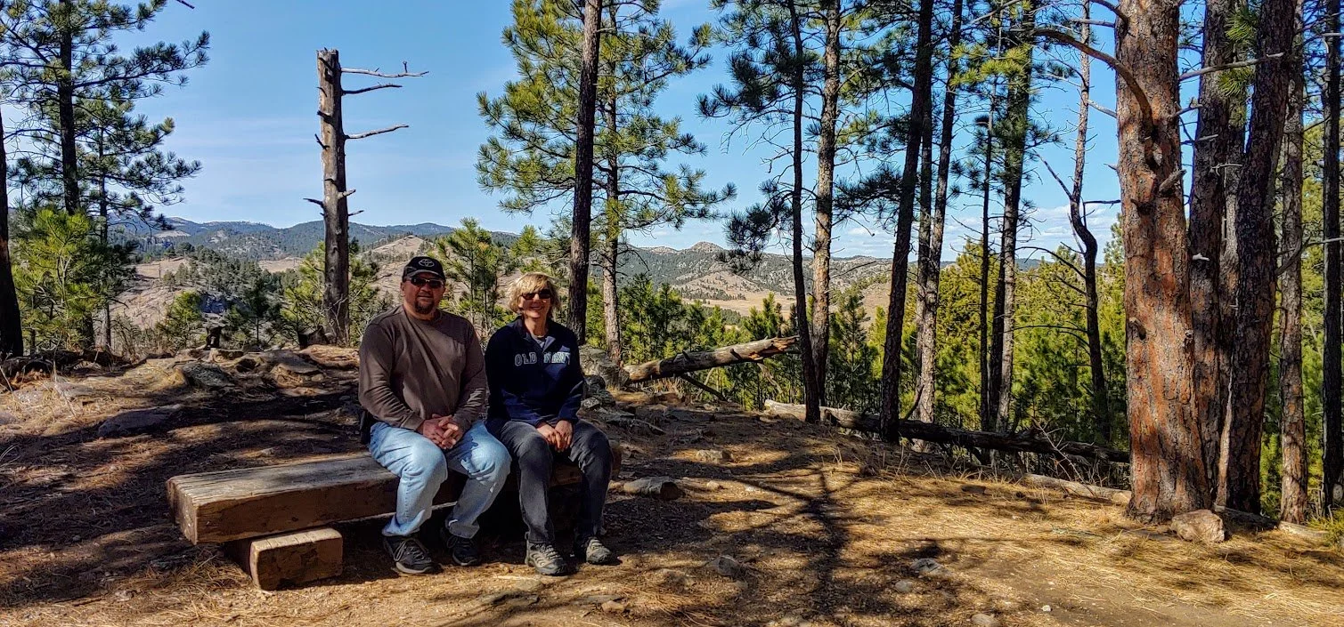
Nice place for a photo op.

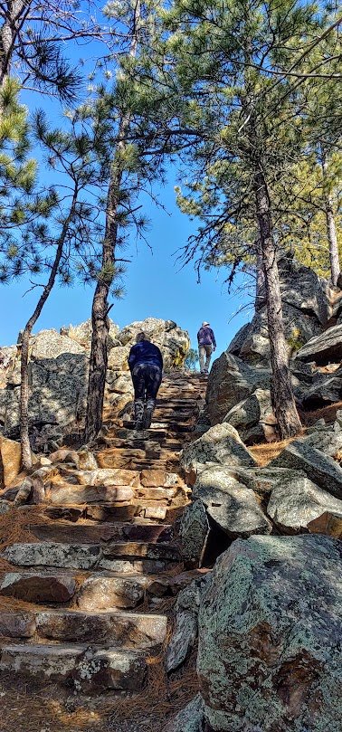
We are not alone.


More steps.

To the first point where you can see on the other side of the hill.


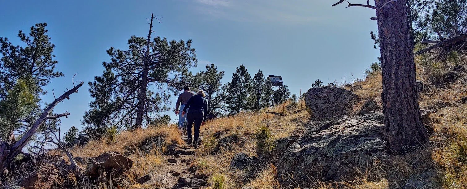
First view of the tower. Getting close.
Hiking same trail in the spring.

Closed for now.


Gorgeous views of the prairie.


Looking at the tower while heading back down - opposite view - summer.

Same view in winter/spring.

Road back down to the car looking south.

Road leading back down to the parking lot looking north.