Mount Coolidge
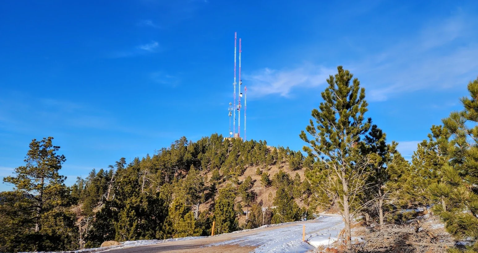
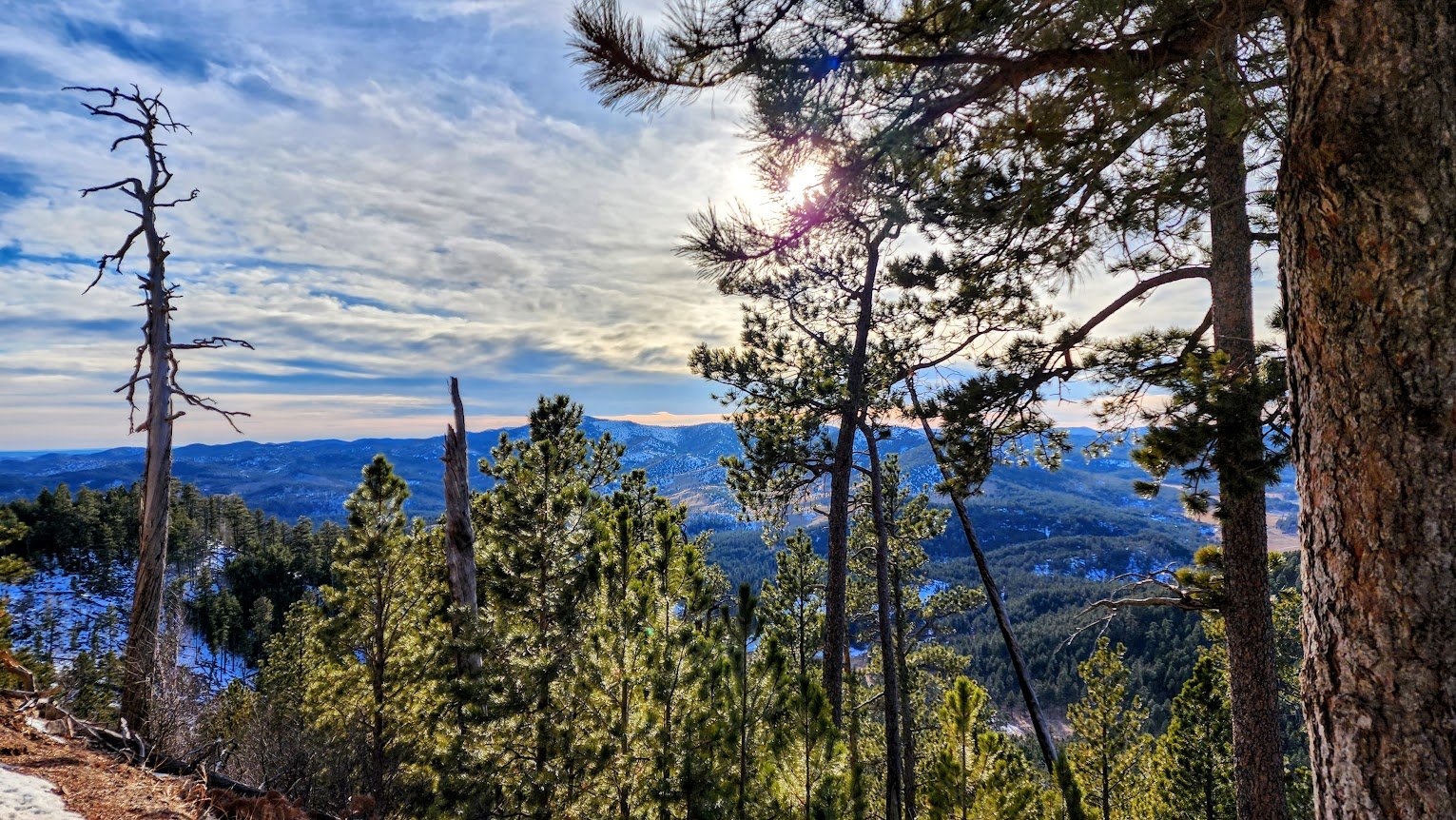
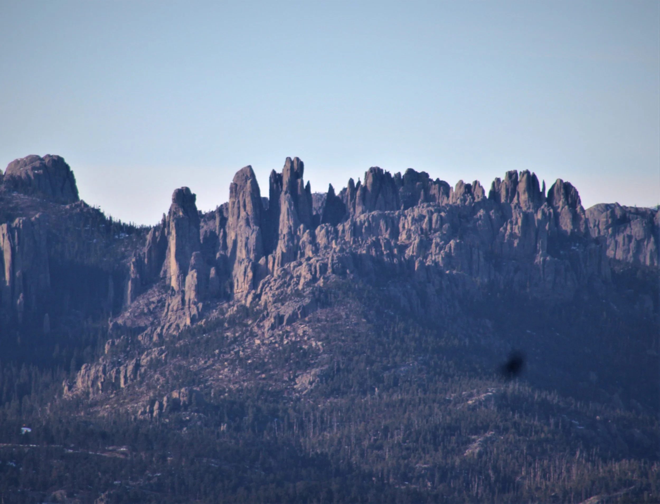
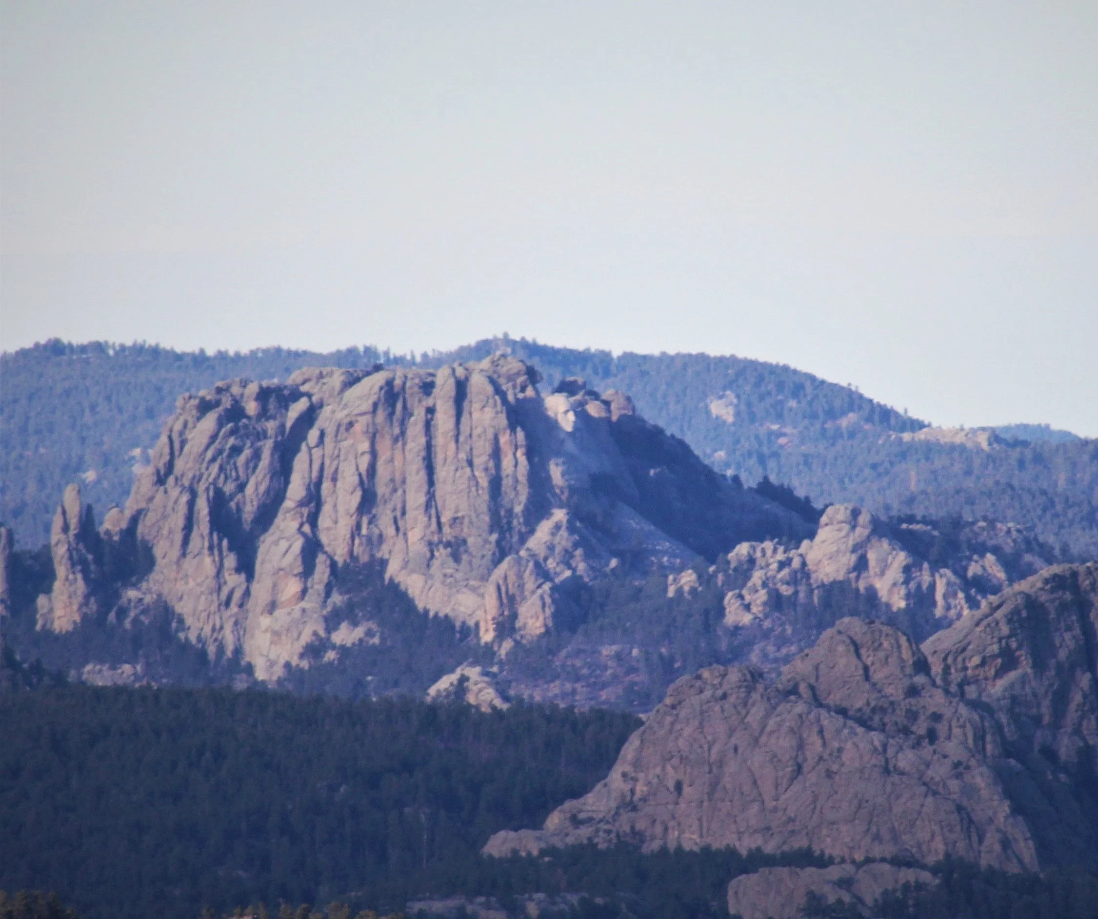
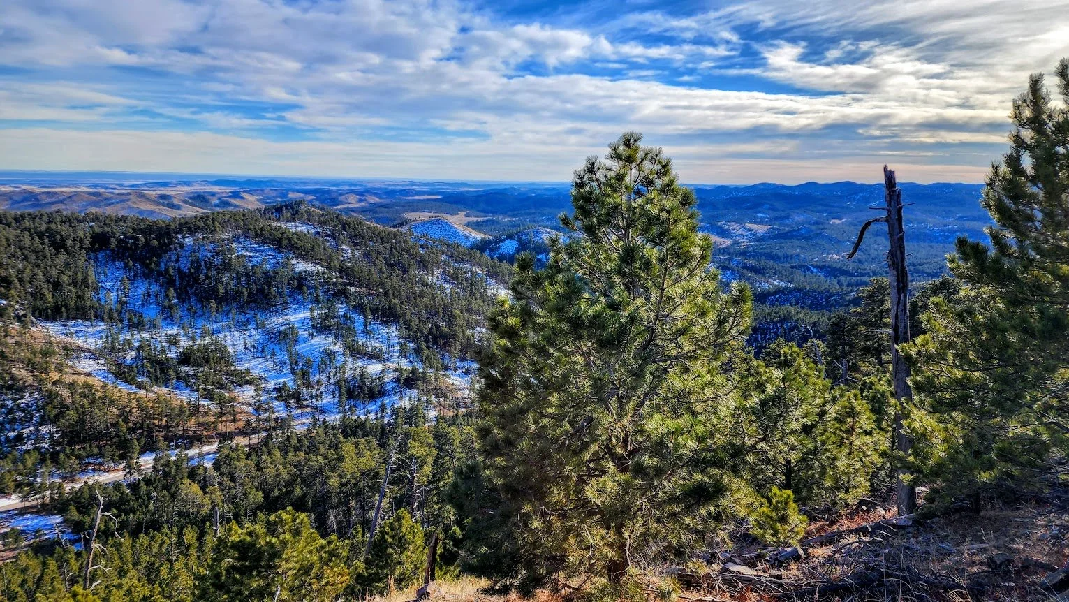
Mount Coolidge is located on SD 87 between Blue Bell Campground and Legion Lake Campground. The tower is atop a 6,023 foot peak and has some amazing 360 degree views of the Black Hills. From the top with binoculars or a good zoom lens, you can see Crazy Horse, Mount Rushmore, the Needles, Black Elk Fire Tower, Ellsworth Airforce Base, and the Badlands.
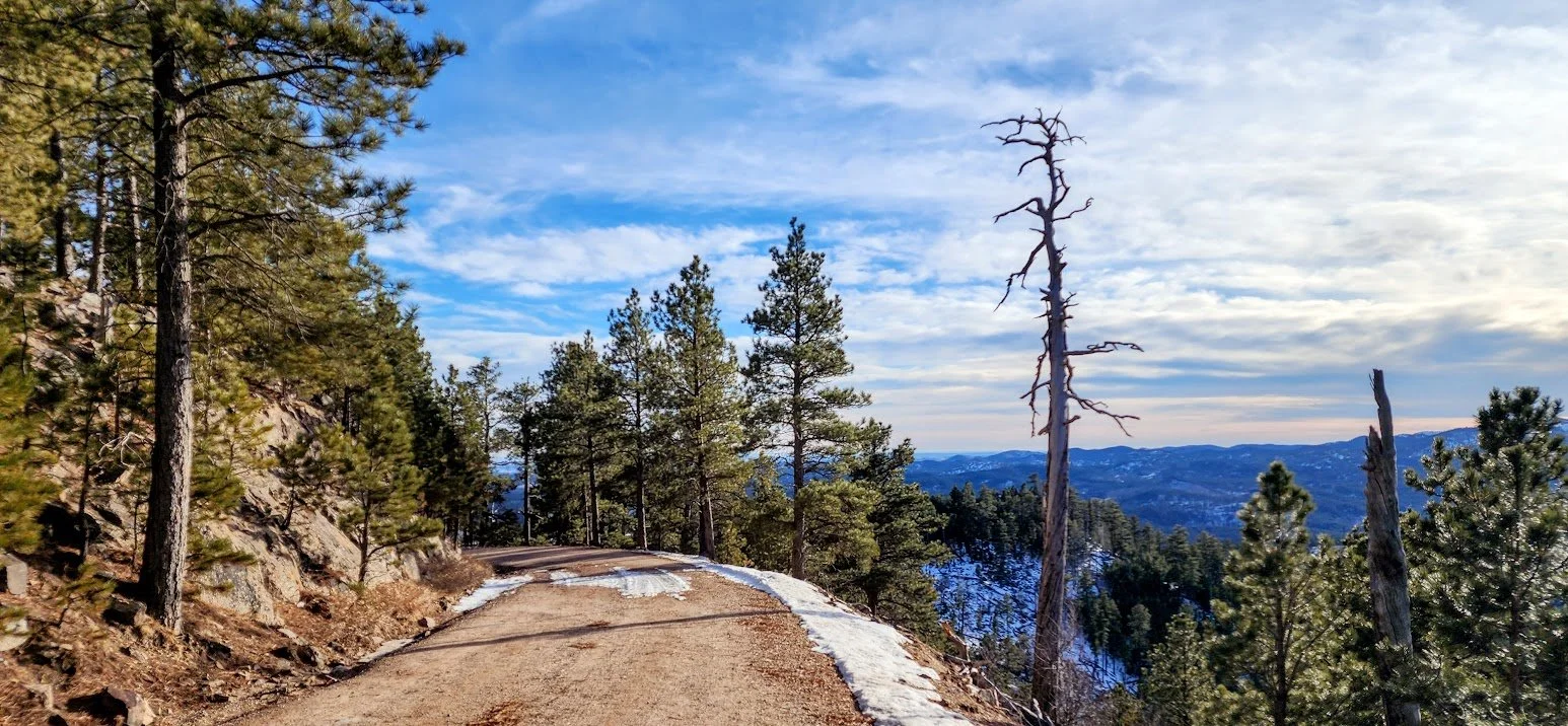
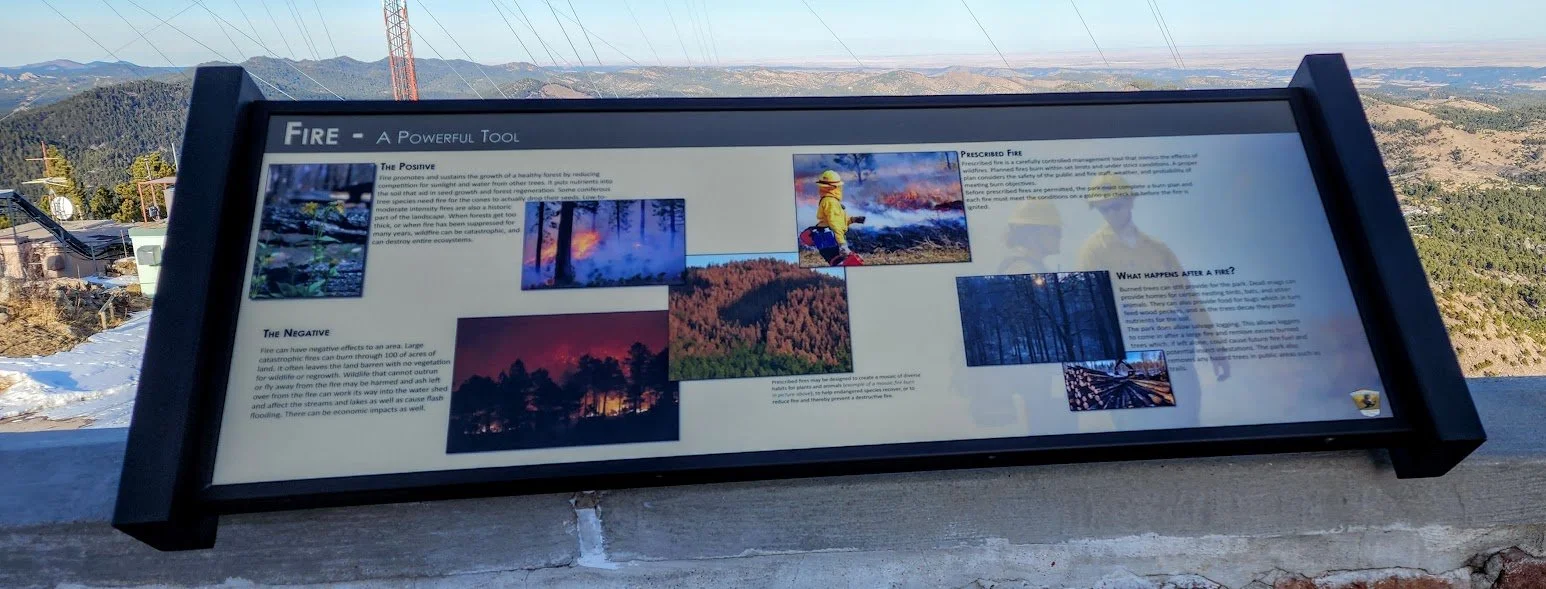
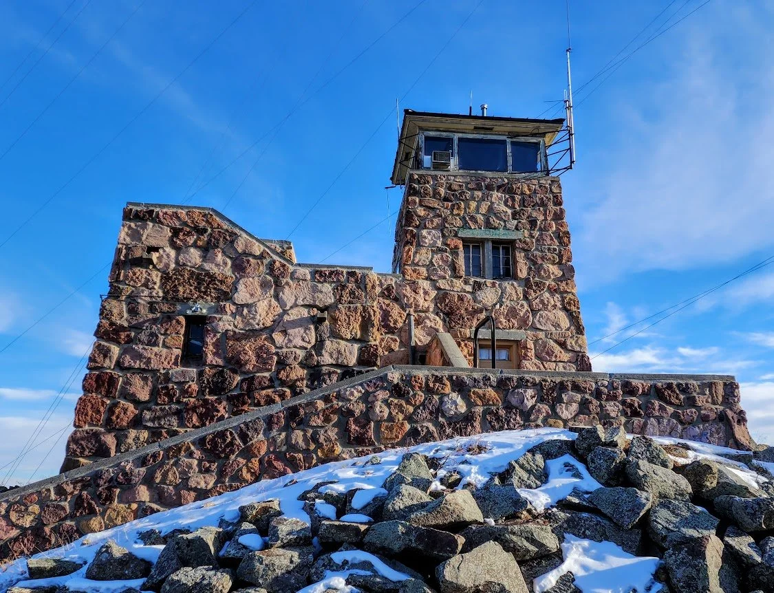
The tower was built in the 1940's by the Civilian Conservation Corps and is now used to spot fires. The road up to the tower is a little steep and winds a lot. Large vehicles and motorhomes should not attempt the drive to the tower since it is narrow, curvy, and has a lot of sharp dropoffs with no guard rails. There is also limited car parking at the top and an outhouse. The tower is only open on good days and is usually closed in the winter due to the road that leads to the tower being slightly dangerous.
Can see the tower from the road below- Highway 87.
Take this road for 1.5 miles actually to the top.
Getting closer.
Road to the top - just gorgeous views.
At the top one way and not much room for parking.
Pretty nice bathroom view.
The fire tower up close.
View to the west.
Stairs to an old bathroom?
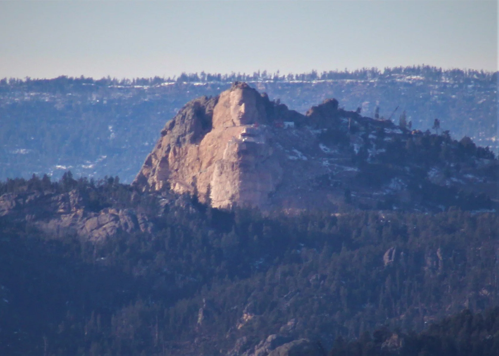
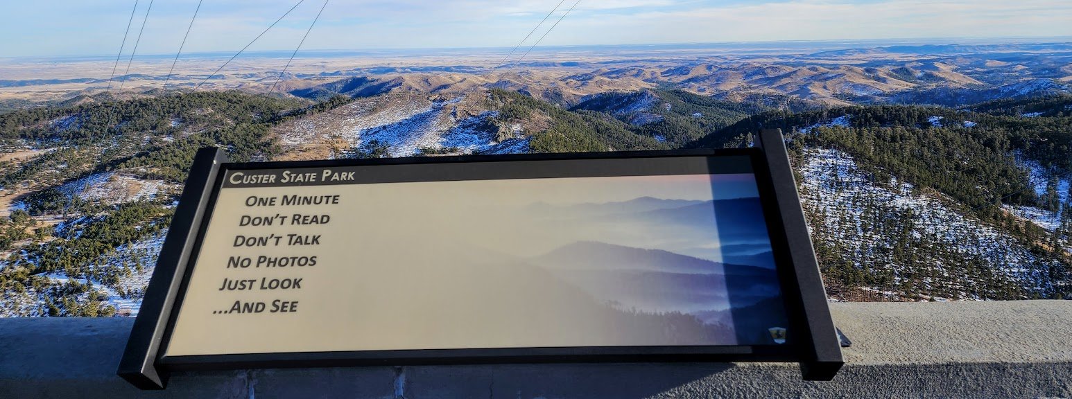
Can see all these amazing sites from the lookout tower with a zoom lens. Not the best pictures, but still neat. This informative display is no longer there.
Crazy Horse
The Needles
Mount Rushmore
Black Elk Fire Tower
Can see for miles, or pay for some help with this.
The road going back down - summer.
The road going back down - winter - it is closed, but you can walk it.
Watch out for drop offs while admiring the scenery.
Summer view.
Winter view.
Back on Highway 87 for more exploring.
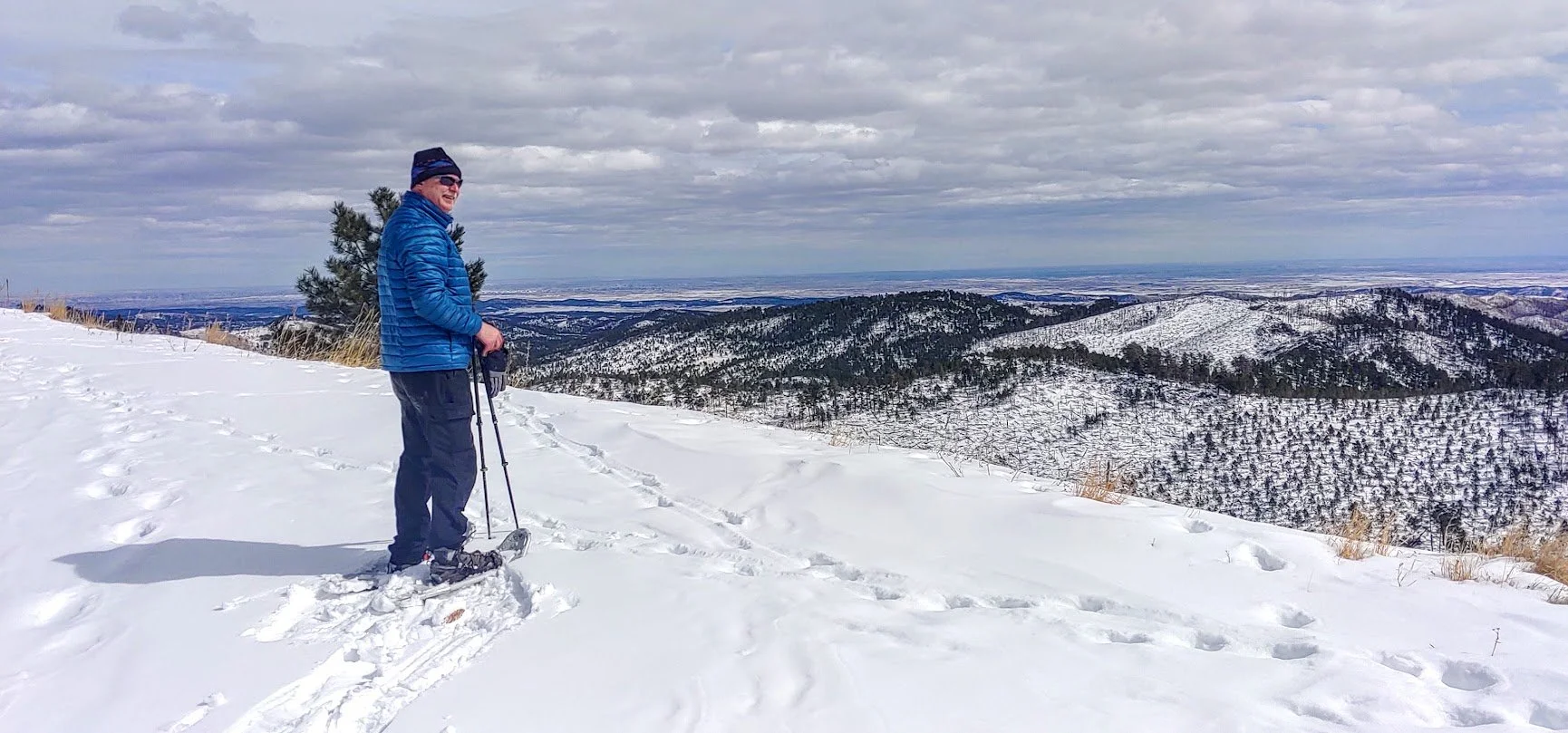
Snow shoeing to the top in the winter. The road is closed. A little over 3 miles to walk it.
All alone at the top.
Can see for miles.
Love this.
Road coming up.
