Hell Canyon
Hell Canyon is a beautiful 6 mile hike about 13 miles west of the town of Custer on Highway 16. This trail is for hikers, mountain bikers, and horseback riders.
When doing the trail, I recommend starting at the bottom of the cliffs and taking the trail that runs to the north. This follows the creek bed through the canyon for about 2 miles. From there the trail climbs slightly until it reaches the top of the limestone crest. This is the highlight of the trail and it follows the canyon for 2 miles giving your gorgeous views of the canyon and surrounding area. After 4 miles, you begin to descend some, walk through prairie, a little bit of a road, and then continue down through the cliffs back to your car.
This was one of my favorite surprises in the hills, and I felt like I was somewhere in the mountains in Montana or Colorado. There are not many trails in the hills that give you this amazing view for such a long time.
Start here through this gate - this is the fun, and easier way to get to the top.
Gorgeous cliffs
The trail is so appealing.
Trail is easy to follow.
Another cool cave.
Pretty flowers along the way.
Unique rock formations.
Cool cave along the way.
Some type of arch.
Only place where the trail starts to go up. Pretty easy climb for the amazing view.
First look at the canyon.
Burnt trees make for awesome views.
Trail below
Another neat arch.
Back to the car is pretty steep. Glad I’m walking down it and not up it.
You walk through this prairie.
View of the road below.
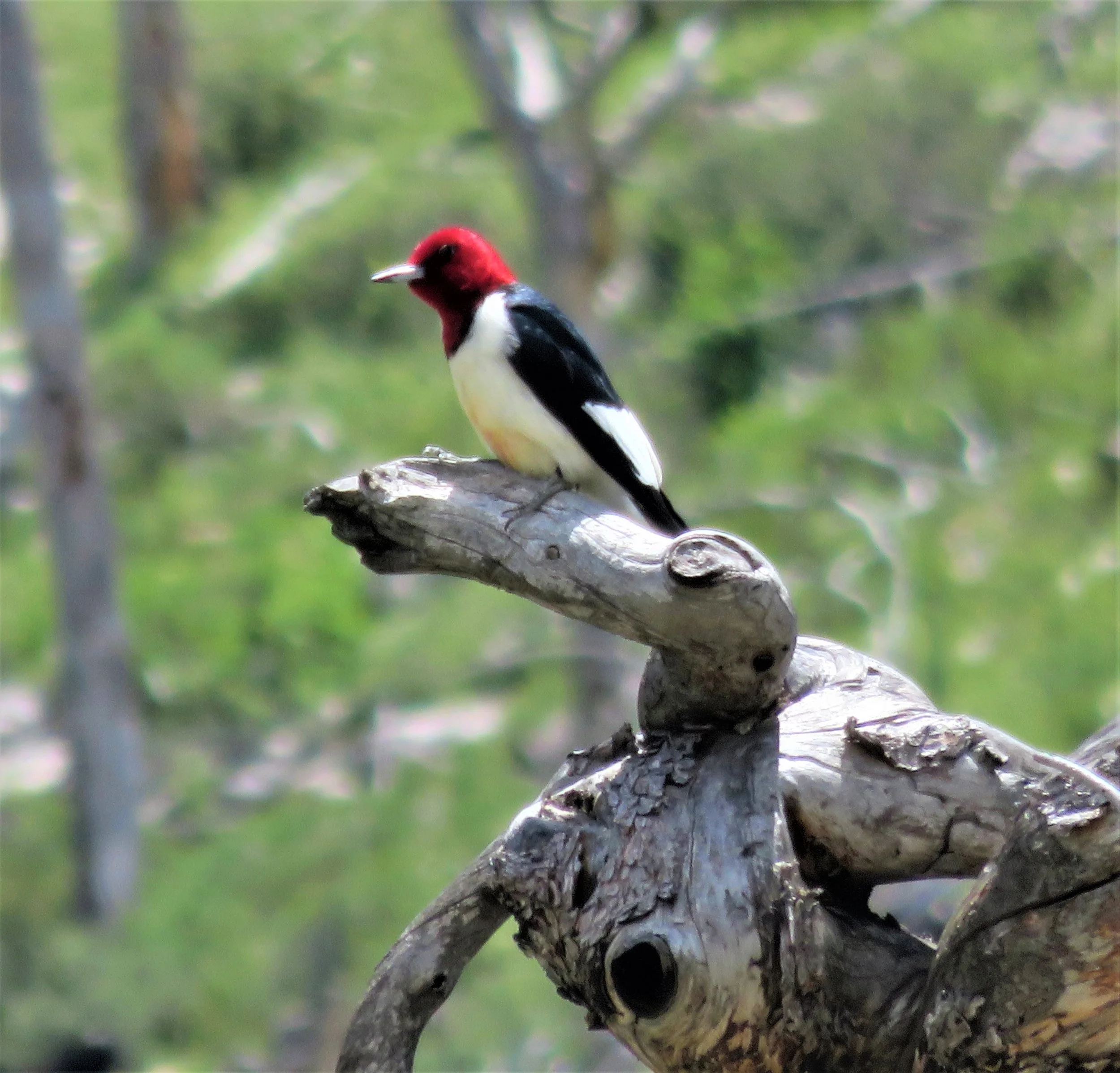
Friendly bird.
Hiking this in December there seem to be a lot of water and creek crossings.
We are not alone.
Subject mountain biking - got to give him a lot of credit. Could be scary at times with big drop-offs.
Neat caves and photo ops.
Trail heading out to the prairie. Started to get cold and windy.
Last turn off.
Some amazing views for miles.
Nice to be out hiking in a tee shirt in December.


