Bighorn Sheep Management Area Trail 2
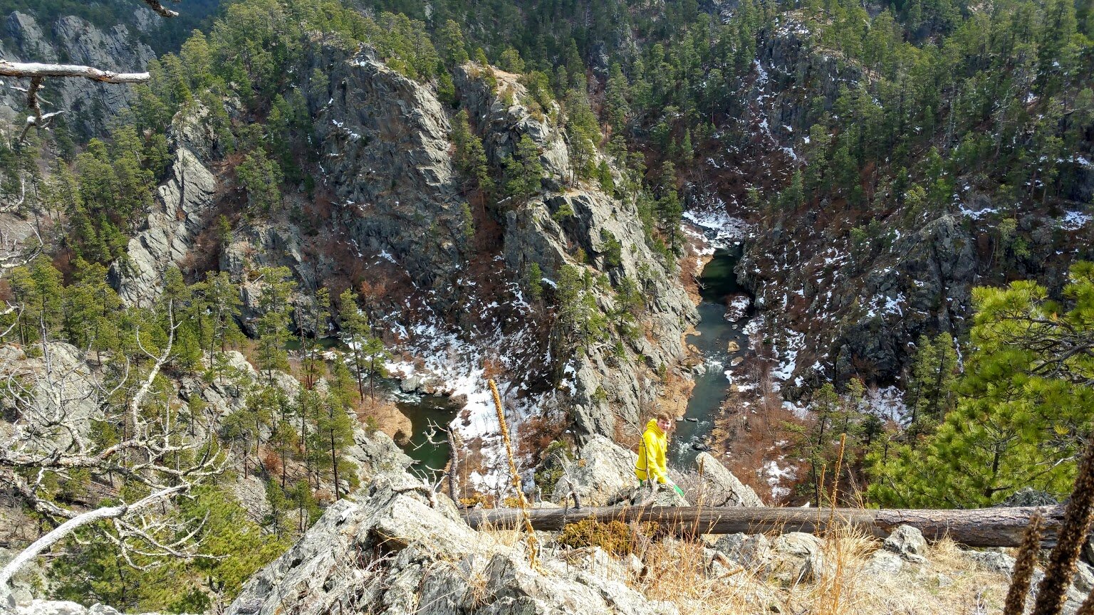
This trail is another part of the Bighorn Sheep Management Area. The trail starts about 2 miles down from the other trail and is about 2 1/2 miles west of Victoria Lake Road off Sheridan Lake Road. The trail follows a dirt road and from there you can make several choices of where you want to hike. The trail passes by a small pond and then gets you close to the cliffs overlooking Spring Creek. This is a nice trail to get some exercise, see some pretty sights, and enjoy the solitude of the Black Hills.
When we did the trail, we kept on the main dirt road, took a side path to the cliff area, hiked a little bit more down the dirt road, and turned around for a nice 2.5 mile hike. We saw only a couple walking, and some people mountain biking. It was quite peaceful.
Where you park right off Sheridan Lake Road.
Nice and easy trail.
Wide and open views.
Small pond.
Beautiful cliff views off the beaten path.
Great photo ops.
Spring Creek below.
Nice and easy stroll.
Thought this was for birds, but it’s a bat house.


